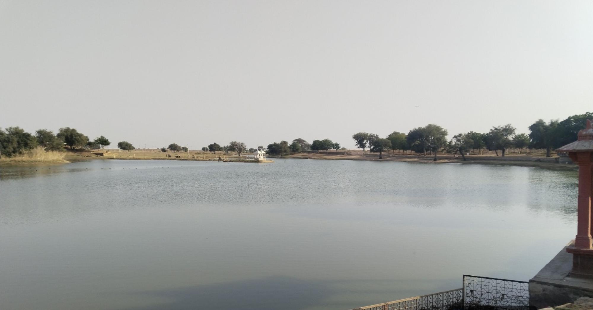
Digital Baseline Strengthens Thar’s Water Commons Restoration Efforts
Traditional ponds, nadis, and village water bodies remain the backbone of water security across the Thar Desert region. Under the Jal Jumbish: Thar Water Commons Initiative, a recently concluded field survey has created a strong digital baseline for restoring these critical community assets across Bikaner, Jaisalmer, and Phalodi. After data cleaning and validation, the final survey database includes 132 verified water structures across 124 villages and 7 blocks, providing a robust foundation for future restoration planning, GIS monitoring, and community-led water governance.
The survey was designed not only to document locations but to understand the full condition and use of each pond. Field teams captured village-level details, structure names, GPS coordinates, photographs, catchment conditions, embankment status, water retention patterns, and community dependency. This has made the survey much more than a simple asset listing—it is now a practical planning database that can support restoration decisions and public-facing monitoring through a GIS-linked system. The initiative also aligns with the broader project goal of strengthening water security and ecological resilience across 180 villages through the rejuvenation of traditional water commons.
The findings reveal both urgency and opportunity. The survey shows that 74.2% of structures need embankment repair, while 93.9% of catchment areas are compromised through obstruction, damage, or encroachment. In addition, 87.9% of sites are affected by Vilayati Babul (Prosopis juliflora), which significantly reduces runoff flow and weakens the ecological health of catchments. Water stress is also evident: only 27.3% of structures retain water throughout the year, while 36.4% have no water available in summer. These findings underline the need for targeted restoration that combines engineering, catchment treatment, and ecological management.
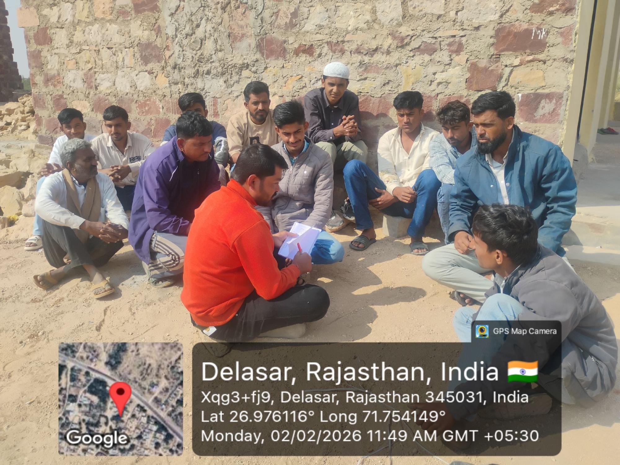
Table 1. District-wise Survey Coverage
| District | Blocks Covered | Villages Covered | Surveyed Structures | Share of Total |
|---|---|---|---|---|
| Bikaner | 2 | 31 | 32 | 24.2% |
| Jaisalmer | 2 | 45 | 45 | 34.1% |
| Phalodi | 3 | 48 | 55 | 41.7% |
| Total | 7 | 124 | 132 | 100% |
Table 2. Key Baseline Findings
| Indicator | Finding |
|---|---|
| Structures needing embankment repair | 74.2% |
| Catchment areas compromised | 93.9% |
| Sites affected by Vilayati Babul | 87.9% |
| Structures with year-round water retention | 27.3% |
| Sites with no summer water | 36.4% |
| Sites used for livestock water | 95.5% |
| Sites used for drinking water | 76.5% |
| Medium + high community participation | 94.7% |
Table 3. Priority Restoration Needs
| Priority Work | Sites Identified | Share |
|---|---|---|
| Catchment repair | 127 | 96.2% |
| Embankment strengthening | 113 | 85.6% |
| Excavation / deepening | 99 | 75.0% |
| Plantation | 91 | 68.9% |
| Fencing | 79 | 59.8% |
| Desilting | 76 | 57.6% |